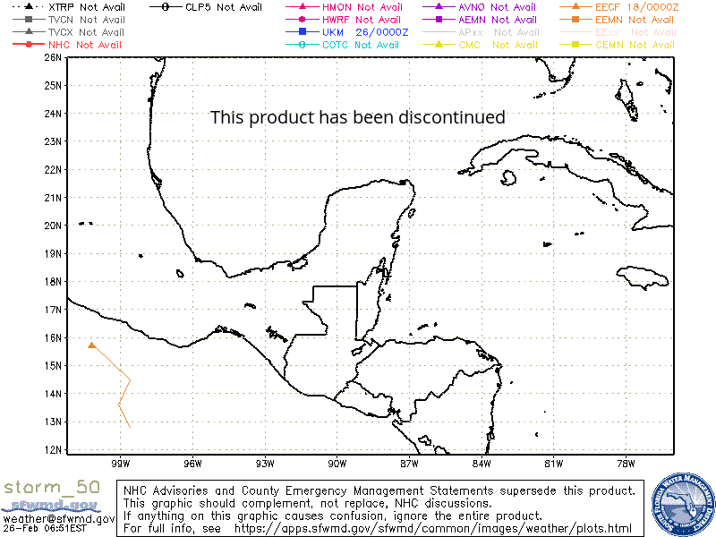
This product has been discontinued
storm50 -------- KML KML_AutoUpdate
All Storms KML KML_AutoUpdate KML (no ensembles) KML_AutoUpdate (no ensembles)
NOTE:
- National Hurricane Center advisories and County Emergency Management statements supersede the spaghetti plots referenced on this page.
- The products are intended to complement National Hurricane Center discussions, not replace them.
- These are automated products that have not been quality checked.
- If anything on these products causes confusion, ignore the entire product.
The model tracks depicted on these products are derived from products from the US National Hurricane Center, the US National Weather Service, the United Kingdom Meteorological Office and the European Centre for Medium-Range Weather Forecast..
Text versions of these products can be found at these links:
NHC
HWRF
UKMET
AAL
ECMWF HRES
ECMWF Ensemble
The naming conventions for the spaghetti plot products come mainly from the text products referenced above.
- Tropical cyclones for which the National Hurricane Center issues advisories utilize numbers sequentially from 1 to 49 (Atlantic) and 101 to 149 (eastern Pacific).
- The "_ens" versions of the spaghetti plots include the ensemble members of the GFS and ECMWF models when available.
- Test messages and tropical disturbances which may require the National Hurricane Center to initiate advisories utilize numbers between 80 and 99 (Atlantic) and between 180 and 199 (eastern Pacific).
- Tropical cyclones which are forecast to develop by the UK Met Office model and the ECMWF model utilize the number 50. The tracks of these systems appear on the spaghetti plots for storm 50 as well as all storms between 80 and 99 and between 180 and 199.
Model tracks have tick marks at 24-hour intervals based on the initialization time for each individual model.
A model track initialized at 00z will have a tick mark at 00z each day along the track while a model with a 6z initialization time will have a tick mark at 6z each day.
Therefore, tick marks on two different model tracks do not necessarily represent the same time.
These spaghetti plots are intended for use by individuals with proper training and expertise.
There are multiple potential causes of misinterpretation that include, but are not limited to, the following:
- Each model utilizes different assumptions and different calculations which leads to different models performing better in different situations.
- All models have unique biases.
- Some models utilize statistics, some utilize physics formulas, some utilize a combination of both.
- Some models perform best with weaker systems, others perform best with well-developed, purely tropical systems.
- The spread of the various model solutions can give a sense of the uncertainty associated with a particular storm track. However, some of the models are interrelated as they share the same initial analyses or the same global forecast fields. Therefore, clustering of model solutions does not necessarily indicate truly independent agreement.
- Poor model analyses of initial conditions can lead to even worse model solutions.
- The National Hurricane Center has access to many other models and data not included in these products. At times, these other models and data have a significant impact on the forecast track issued by the National Hurricane Center.
- Further information on some of the models used by the National Hurricane Center can be found at the National Hurricane Center website, the Hurricane Research Division website, and the University of Wisconsin website.
Sources of Hurricane Models Plotted by SFWMD:
XTRP - Extrapolation using past 12-hr motion - NOT a model, just a benchmark of current motion (NHC)
TVCN - Consensus of interpolated prior runs of GFS, UKMET, ECMWF, HWRF, & COAMPS models
TVCX - Consensus of interpolated prior runs of GFS, UKMET, ECMWF (x2), & HWRF models
NHC - National Hurricane Center official forecast
CLP5 - CLImatology-PERsistance (CLIPER) model 5-day (NHC)
TABD - Trajectory And Beta model, deep (NHC)
TABM - Trajectory And Beta model, medium (NHC)
TABS - Trajectory And Beta model, shallow (NHC)
HMON - NOAA Hurricanes in a Multi-scale Ocean-coupled Non-hydrostatic model (HMON)
HWRF - NOAA Hurricane Weather and Research Forecast (HWRF) model
UKM - United Kingdom Meteorological Office (UKMET) model
COTC - NRL COAMPS-TC model (Navy Regional Hurricane Model)
AVNO - NOAA Global Forecast System (GFS) model (formerly known as the AVN/MRF)
AEMN - NOAA GFS Ensemble Mean
APxx - NOAA GFS ensemble members
CMC - Canadian Meteorological Centre (CMC) model
ECMF - European Centre for Medium-range Weather Forecasts (ECMWF) HRES Model Forecast
EECF - ECMWF Ensemble Control Forecast
EEMN - ECMWF Ensemble MeaN (calculated locally by SFWMD)
EExx - ECMWF Ensemble members
CEMN - Canadian model Ensemble MeaN
Additional Models Included in Google Earth KML Files
NVGM - NAVy Global Environmental Model (NAVGEM)
NAM - NOAA North American Mesoscale model
NGPS - United States Navy Global Atmospheric Prediction System (NOGAPS) model
JGSM - Japanese Global Sprectral Model